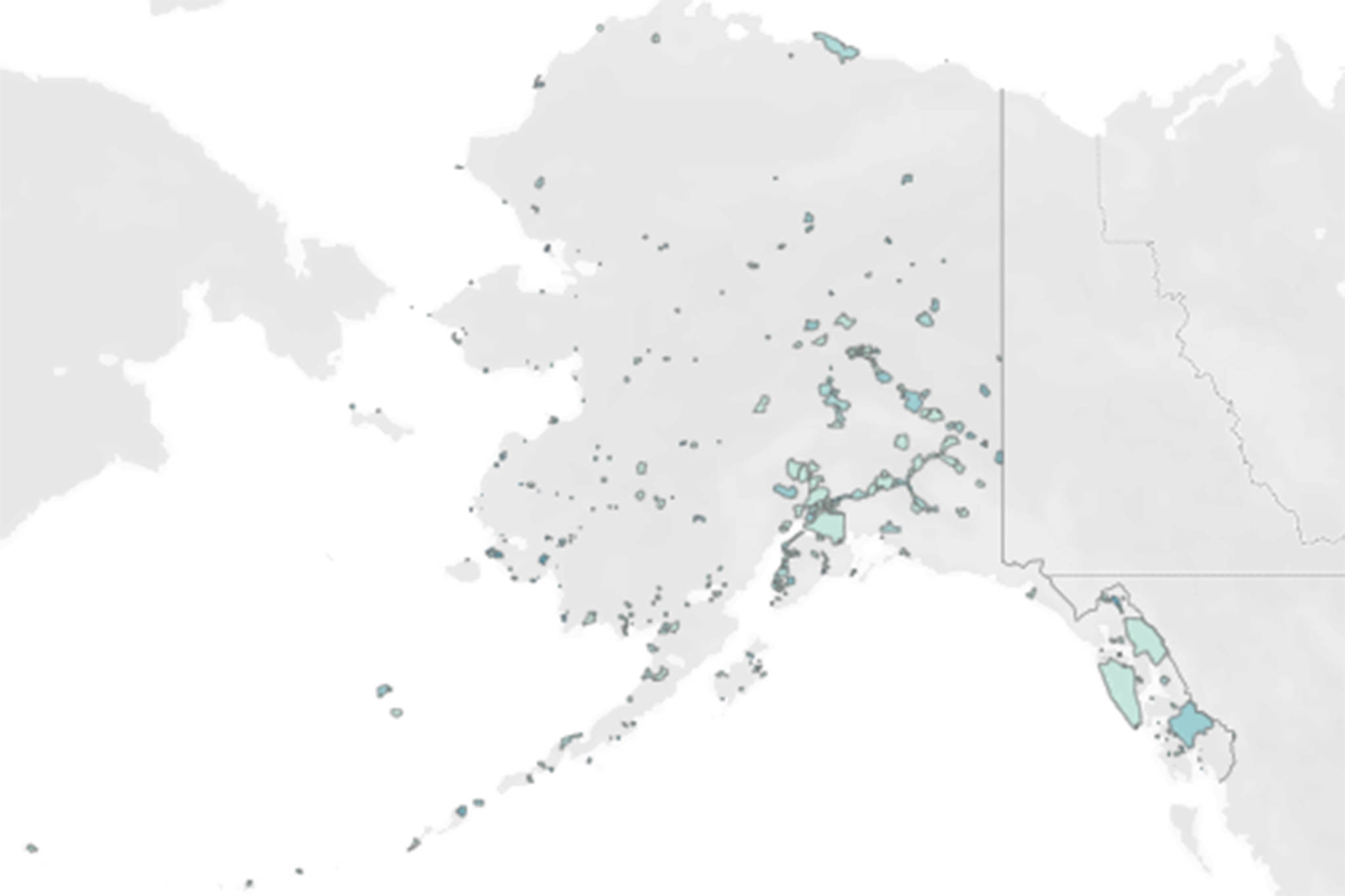
This screenshot from a project by University of Alaska Southeast postdoctoral researcher John Harley shows Alaska’s cities and census-designated places. Darker-colored areas on the map are communities with higher social vulnerability indices. (Screenshot)

This screenshot from a project by University of Alaska Southeast postdoctoral researcher John Harley shows Alaska’s cities and census-designated places. Darker-colored areas on the map are communities with higher social vulnerability indices. (Screenshot)

Researcher hopes map project can aid pandemic response

Work was done with Alaska in mind, but it could be adapted to other states and communities

Most maps of Alaska show governmental boundaries and geographic features, but offer little insight into where people live or which places might be especially vulnerable to pandemic or in need of relief.

A new project made by John Harley, a postdoctoral researcher at the University of Alaska Southeast, attempts to show exactly that via an interactive map of the state that identifies the pockets of populations scattered throughout the state and identifies potentially at-risk areas using factors such as age, financial security and more.

“The census regions and blocks and block groups that the Census Bureau uses to kind of slice up the populations, those work pretty well in heavily populated areas,” Harley said. “But one of the stipulations of those areas is they have to fill in the entire area of the stat, whereas in Alaska, you don’t have many people or any people living some pretty vast swaths of land. Having a
social vulnerability index that’s calculated for this huge area —kind of like Northwestern Alaska —it’s not really representative of where people are actually living, so that was sort of one of the motivations. ”


Social vulnerability index is a measurement of a community’s vulnerability to stressors such as disease or natural disaster. The federal Centers for Disease Control calculates SVI using census data to help emergence response planners and public health officials identify places most likely to need support before, during and after a hazardous event.

Harley’s map, which is
open-source so other states or communities could adapt it to their locale, allows users to apply filters to view the map in either traditional block groups or as a collection of more than 300 cities and census-designated places. The latter option essentially only displays the places people actually live.

[How the first week of schools went, according to school district staff]

Darker shades of blue on the map denote communities that are more at-risk to external stressors. Generally, Southeast Alaska, including City and Borough of Juneau, are a light shade of blue as is South Central Alaska. The western edge of the state is comparatively much darker, and the North Slope is somewhere in between the shades.

The project was made possible by a $5,000 coronavirus response grant through University of Alaska Fairbanks’ Center for Innovation, Commercialization and Entrepreneurship.

Harley emphasized that the map is not yet ready to inform action. Instead, he hopes that now that his map exists, he can work with someone with a public health background to help it offer maximum public benefit.

“I have a data science background, and that’s kind of been my wheelhouse,” Harley said. “I don’t have a public health background, so it’d be great if we could collaborate on this, so someone from DHSS could come in and say ‘Hey, this looks great, let’s tweak it here and here, and then we can actually use this as a product going forward.’ And hopefully, they’d be able to use that for monitoring pandemic response, identifying vulnerable communities and planning distribution of resources that way. That’s my hope that DHSS will eventually pick up this tool.”

While Harley said the map was born of the pandemic, it also has future applications, since social vulnerability indices are calculated to account for susceptibility to many maladies.

“Even once we hopefully conquer this current coronavirus pandemic, hopefully, this will still be useful,” Harley said.
More in News

(Juneau Empire file photo)
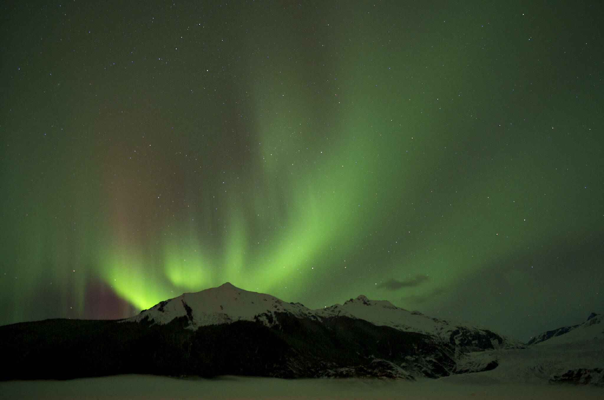
Aurora forecast through the week of Feb. 1

These forecasts are courtesy of the University of Alaska Fairbanks’ Geophysical Institute… Continue reading

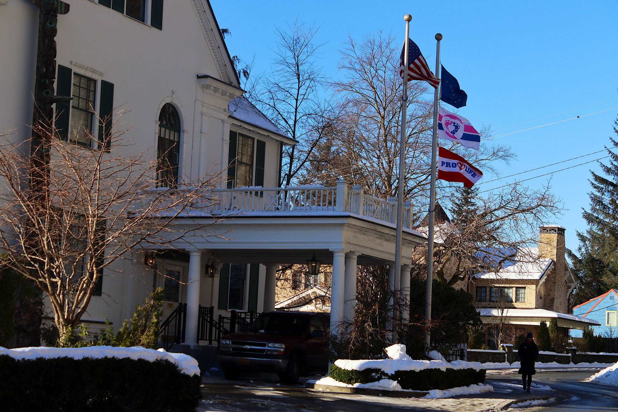
Two flags with pro-life themes, including the lower one added this week to one that’s been up for more than a year, fly along with the U.S. and Alaska state flags at the Governor’s House on Tuesday. (Mark Sabbatini / Juneau Empire)
Doublespeak: Dunleavy adds second flag proclaiming pro-life allegiance at Governor’s House

First flag that’s been up for more than a year joined by second, more declarative banner.

Students play trumpets at the first annual Jazz Fest in 2024. (Photo courtesy of Sandy Fortier)
Join the second annual Juneau Jazz Fest to beat the winter blues

Four-day music festival brings education of students and Southeast community together.

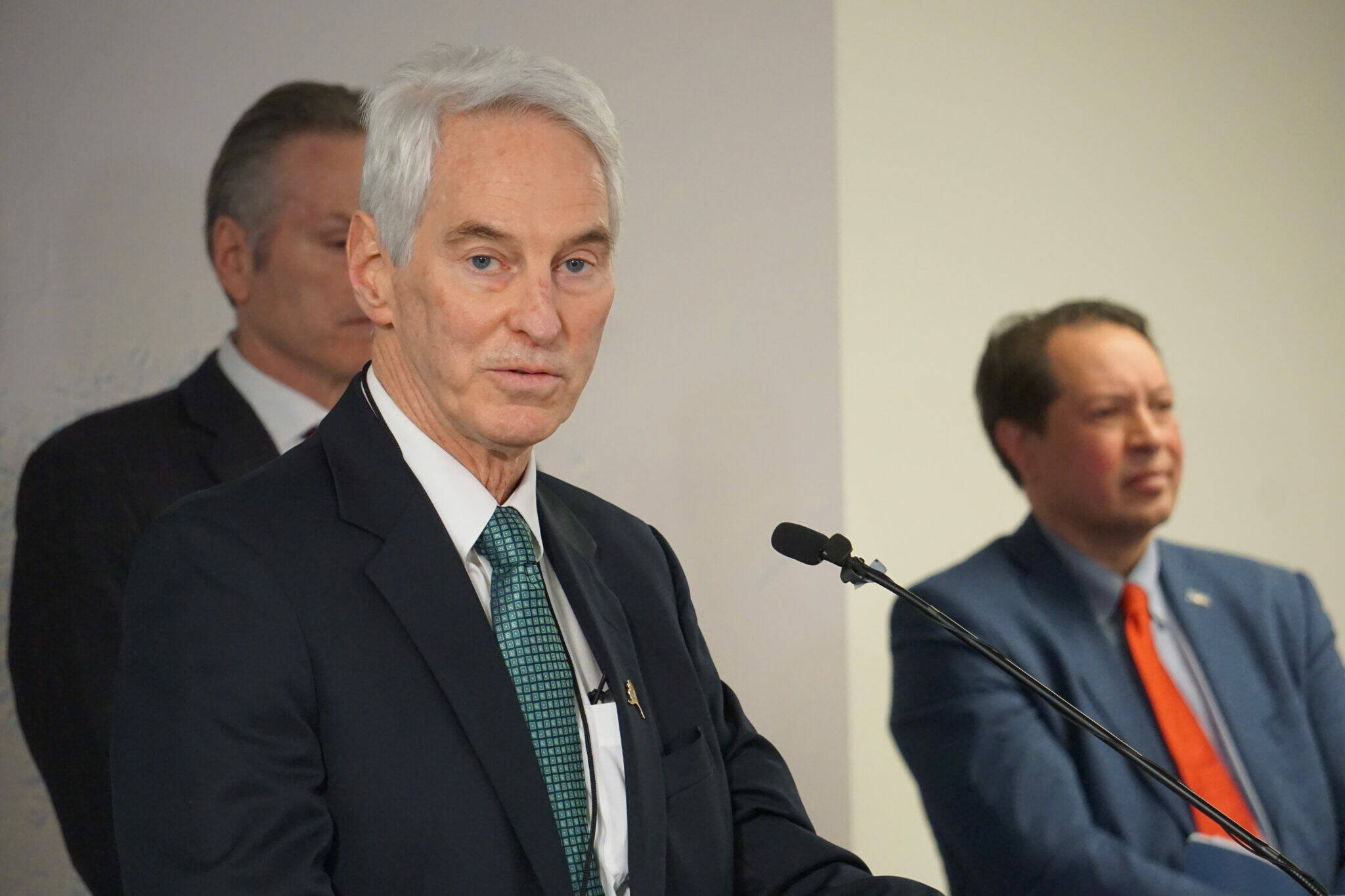
Frank Richards, president of the Alaska Gasline Development Corp., speaks at a Jan. 6, 2025, news conference held in Anchorage by Gov. Mike Dunleavy. Dunleavy and Randy Ruaro, executive director of the Alaska Industrial Development and Export Authority, are standing behind RIchards. (Yereth Rosen/Alaska Beacon)
For fourth consecutive year, gas pipeline boss is Alaska’s top-paid public executive

Sen. Bert Stedman, R-Sitka, had the highest compensation among state legislators after all got pay hike.

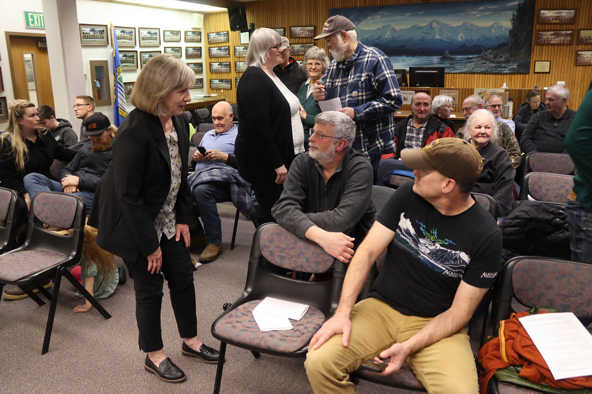
Juneau Assembly Member Maureen Hall (left) and Mayor Beth Weldon (center) talk to residents during a break in an Assembly meeting Monday, Feb. 3, 2025, about the establishment of a Local Improvement District that would require homeowners in the area to pay nearly $6,300 each for barriers to protect against glacial outburst floods. (Mark Sabbatini / Juneau Empire)
Flood district plan charging property owners nearly $6,300 each gets unanimous OK from Assembly

117 objections filed for 466 properties in Mendenhall Valley deemed vulnerable to glacial floods.

(Michael Penn / Juneau Empire file photo)
Police calls for Sunday, Feb. 2, 2025

This report contains public information from law enforcement and public safety agencies.

(Michael Penn / Juneau Empire file photo)
Police calls for Saturday, Feb. 1, 2025

This report contains public information from law enforcement and public safety agencies.

(Michael Penn / Juneau Empire file photo)
Police calls for Friday, Jan. 31, 2025

This report contains public information from law enforcement and public safety agencies.

University of Alaska President Pat Pitney gives the State of the University address in Juneau on Jan. 30, 2025. She highlighted the wide variety of educational and vocational programs as creating opportunities for students, and for industries to invest in workforce development and the future of Alaska’s economy. (Corinne Smith/Alaska Beacon)
University of Alaska president highlights impact on workforce, research and economy in address

Pat Pitney also warns “headwinds” are coming with federal executive orders and potential budget cuts.

Most Read